

The new World Heritage Map Platform
Cultural heritage is an invaluable resource for the territory and for the communities living there. But is increasingly vulnerable and exposed to climate change and urbanization plants.
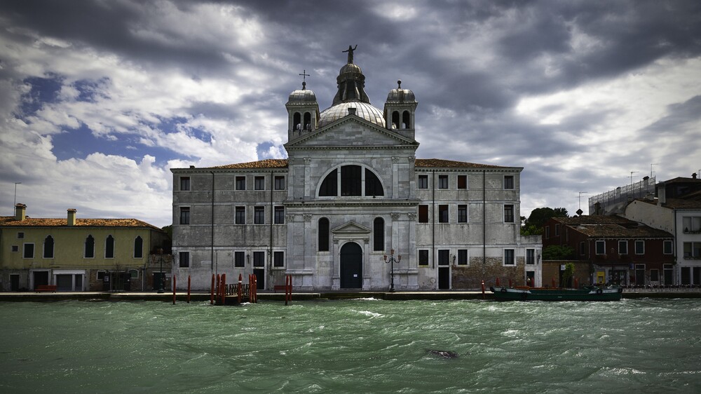
© Vincent Angillis – Source: www.studioatwork.be
Accordin to “Managing Disaster Risks for World Heritage” published in 2011 by UNESCO and by ICCROM, ICOMOS and IUCN:
“ While the cultural heritage is not usually taken into account the global statistic on catastrophe risks, cultural and natural properties are always affected by events that are less and less “natural” in their dynamics, if not in their cause. The progressive loss of these assets due to floods, landslides, fires, earthquakes, civil unrest and other hazards has become a major concern, also because of the significant role of the heritage plays in contributing to social cohesion and sustainable development, particularly in times of stress”
If we analyze the date on the number of disastrous events in the world (The human cost of disasters: an overview of the last 20 years ( 2000-2019)), the letter have doubled. From 4.212, in the period 1989-1999 to 7348, in the period 2000-2019. In front of these numbers, the “ World Heritage” formally introduced by UNESCO, in the Paris Convention of 1972, is no longer just an abstract concept but becomes a good to be saved.
In this context, the Fondazione Links has started with the Administration interested in prepare candidates for the various UNESCO promoted programs, supporting technically and administratively the preparation of documents and materials necessary for the application. And like Ithaca, we support the Fondazione LIKS by providing technical mapping services. The most recent candidacy we working on was that of historical center of the city of Odesa (Ukraine) which was included in the UNESCO List of World Heritage in Danger.
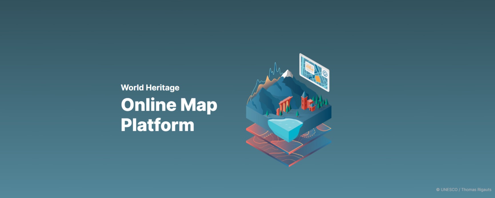
But we did something more: we contributed to the implementation of the first World Heritage Online Map Platform (WHOMP), developed by UNESCO.
The platform was launched in the September and can be considered as the first pilot project for the release of much wider and integrated geographical database on the UNESCO World Heritage.
The platform is an proposed to online tool, open to all, for monitoring of geospatial data and information of sites included in World Heritage lists and which allows basic mapping operations to be out and provides users with a set of useful tools and functionalities, such as are and distance measurement, annotations and drawing, import of shapefiles, export of highly customized cards, pop-up windows containing basic information about world heritage sites, etc. For each site, can view its georeferenced boundaries and its “buffer zones”, that is the areas of respect that surround the site, developed to provide an additional layer of protection.
The main objective of the WHOMP is to facilitate the understanding of the boundaries of UNESCO sites thus allowing a better and more timely identification of the potential impacts on their “Outstanding Universal Value”, and helping the acceding Sates to improve the monitoring of the conservation status of properties on their territory. This project also represents a direct contribution to 2030 Agenda for Sustainable Development, in particular to Objective 11.4 “Strengthening efforts to protect and safeguard the world’s cultural and natural heritage”.
The States parties to the UNESCO Convention are invited to present the geo -referenced maps of their sites, the World Heritage Centre control compliance with the cards adopted by the World Heritage Committee and if they don’t identify differences, they are integrated into the platform.
Our team Maps and Cartographic Representation supported the stakeholders involved (Ministry of Culture; Regions, Cities, Managing authorities) in the management of Italian UNESCO sites, together with Fondazione LINKS. In particular , our work initially focused on the collection of shapefile ( georeferenced vector files) existing, evaluating and choosing the most updated version. We have also found other useful geographic information from geoportals of the managing agencies to realize the complete GIS data package ( and eventually also the layout where required) and finally we confronted them to correct and validate the georeferenced perimeters produced by us. The same bodies then sent them to the Ministry of Cultural Heritage for submission to UNESCO
The sites on which we worked and which have already been integrated into the WHOMP are 13, in particular:
- 9 sites in Lombardi: Chiesa e Convento domenicano di S. Maria delle Grazie con l’Ultima Cena di Leonardo da Vinci, Crespi d’Adda, Sacri monti del Piemonte e della Lombardia, Mantova e Sabbioneta, Ferrovia retica nel paesaggio dell’Albula e del Bernina, Monte San Giorgio, Longobardi in Italia. I luoghi del potere (568-774 d.C.), Siti palafitticoli preistorici dell’arco alpino e Opere di difesa veneziane tra XVI e XVII secolo: stato da mare – stato da terra
- Paesaggi vitivinicoli delle Langhe-Roero e del Monferrato in Piemonte
- Trulli di Alberobello
- Portici di Bologna
- Area archeologica e Basilica Patriarcale di Aquileia
Check the full list of Italian UNESCO sites.