

Managing urban greenery with satellite imagery
Today, half of the world’s population lives in urban centres and it is estimated that by 2050 the percentage will grow to 70%. Increasing urbanisation, uneven growth of urban centres and the impacts of climate change may expose urban communities to increased fragility and vulnerability.
Among the 17 Sustainable Development Goals of the United Nations 2030 Agenda, Goal 11 is specifically dedicated to cities: ‘Make cities and human settlements inclusive, safe, resilient and sustainable’.
To achieve this goal, cities will have to equip themselves to protect the most fragile groups, stimulate greater social and economic inclusion, mitigate the effects of climate change (for example, the increasingly frequent summer heatwaves) and foster greater environmental sustainability.
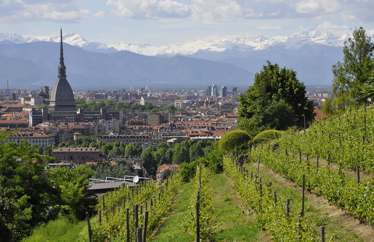
Certainly, one of the assets to be preserved and enhanced is urban green spaces. City parks are indispensable to foster socialisation, improve mental health, encourage healthy lifestyles, and their greater spread can slow down land consumption. In relation to climate change risks, they can mitigate the impact of extreme events and improve air quality.
Starting from these assumptions, together with the Department of Agricultural, Forestry and Food Sciences (DISAFA) of the University of Torino, we tried to analyse the state of Torino’s green areas, using information from the European Union’s Copernicus Land Monitoring Service (CLMS). In particular, we correlated High Resolution Vegetation Phenology Parameters (HR-VPP) data derived from Sentinel-2 satellite images in our analysis to assess the seasonality of Torino’s vegetation.
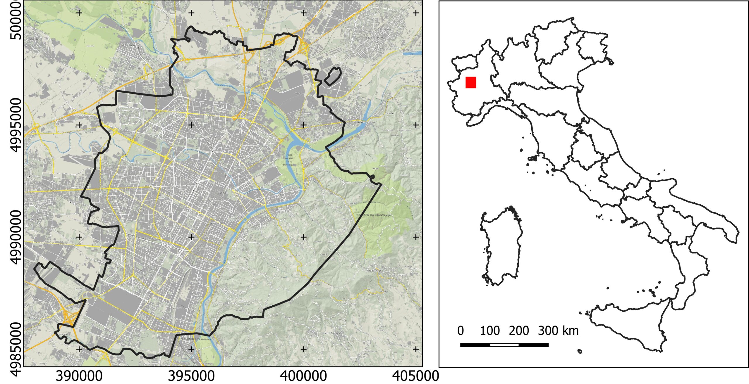
@ Ithaca Srl / DISAFA
Our analysis focused on the macrophenology of green areas in the years 2018, 2019 and 2020 with reference to the new open HR-VPP dataset from Copernicus. The vegetation type, deduced with reference to the official technical map BDTRE 2019 of the Piedmont Region, was considered and related to the corresponding macrophenology using a limited number of metrics from the HR-VPP dataset.
The results are interesting: 50% of Torino’s green areas can be considered stable. Going into detail, it was found that most of them have a longer ‘Lenght of Season (LOS)’, probably due to efficient management by the City of Torino. The forest vegetation on the city’s hillsides also appeared stable and particularly productive of biomass.
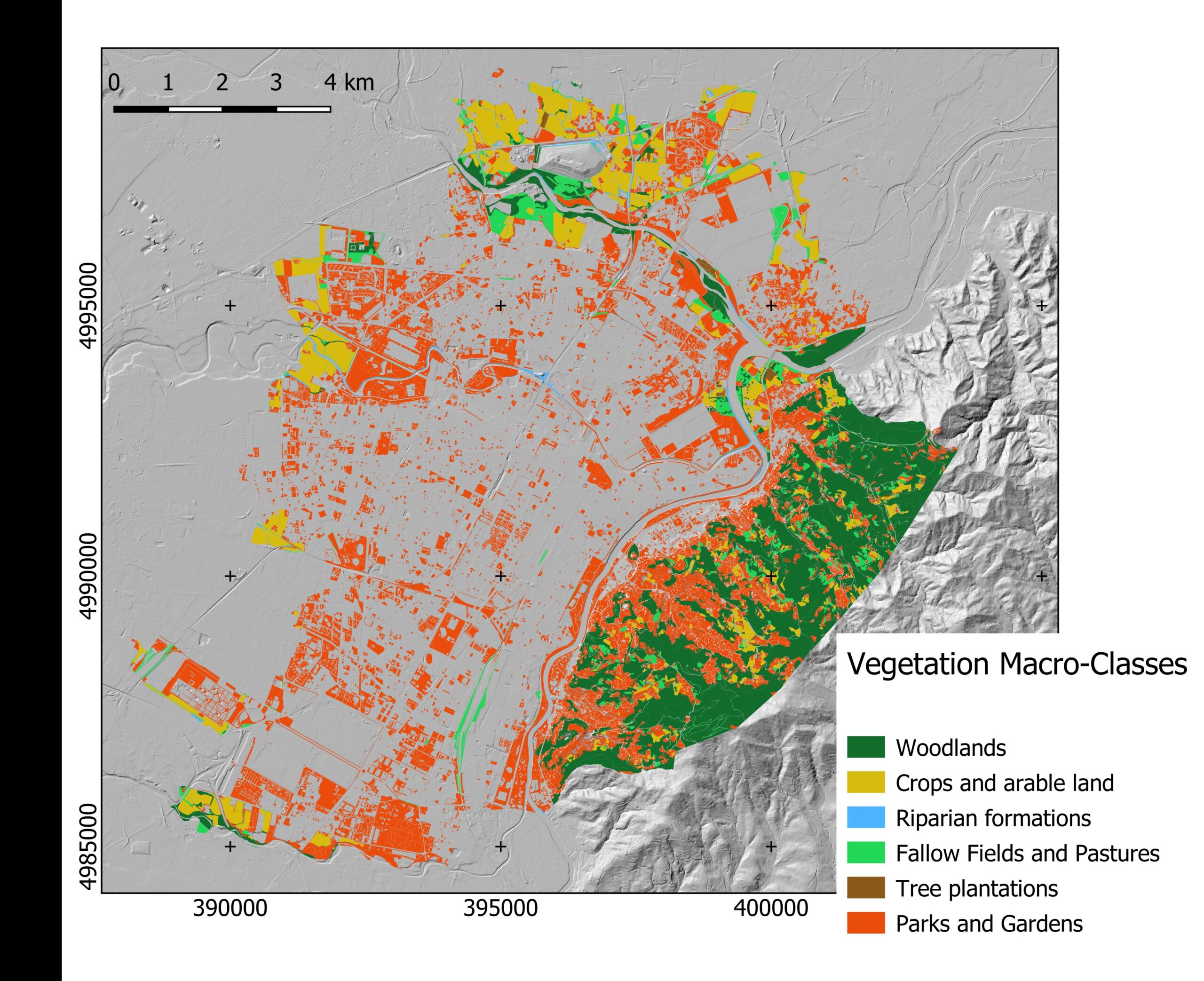
@ Ithaca Srl / DISAFA
In conclusion, satellite data allowed us to understand the vegetation classes present in the city and their distribution. Secondly, it was possible to identify the state of health of urban greenery. And the comparison with data from previous years allowed us to detect changes.
The methodology used in this study may be particularly interesting and useful for municipal administrations and town planners in evaluating and deciding on the best management of urban greenery.